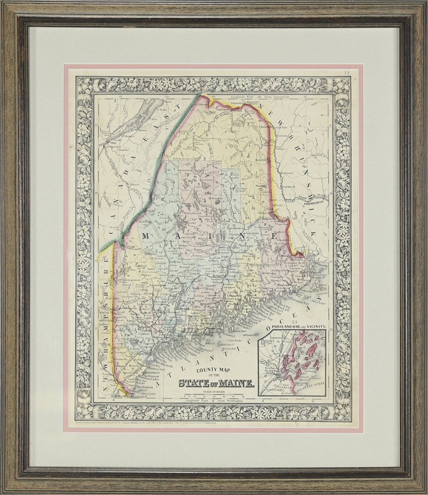
Antique Map ~ State of Maine, Mitchell - 1860 View Watchlist >
- Winning Bid: $85.00
- 31 Bid(s) View Bid History
- High Bidder: Greenenchiladas
Seller Accepts Credit Cards
Payment and pickup instructions will be available on your invoice (under "My Account") at the conclusion of this auction.
Lot # S219
System ID # 6859644
Start Date
End Date
2 Watching
Antique Map ~ State Of Maine, Mitchell - 1860
Hand Colored Map Titled "County Map Of The State Of Maine" By One Of The Most Prominent Map Publishers Of The Times, S. Augustus Mitchell, 1860. This Historic Antique Map Includes Bordering Areas Of New Hampshire, Canada East, New Brunswick, Atlantic Ocean And Offers An Inset Of Portland Harbor And Vicinity. Exquisitely Ornate, Detailed Border Is A Distinguishing Characteristic Of Mitchell's Works.
Handsomely Framed And Matted.
Condition:
Good, See Photos
Size:
Overall: 19" X 16"
Visible: 13" X 11"
