IGN Raised Relief Map “Hautes-Pyrénées” France 1993 — Boxed, Maker Marked View Watchlist >
- Winning Bid: $4.99
- 5 Bid(s) View Bid History
- High Bidder: Mary_Beth_W
Seller Accepts Credit Cards
Payment and pickup instructions will be available on your invoice (under "My Account") at the conclusion of this auction.
Lot # B291
System ID # 26412479
Start Date
End Date
0 Watching
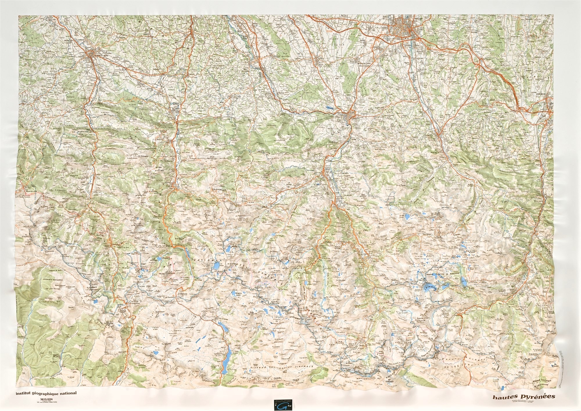
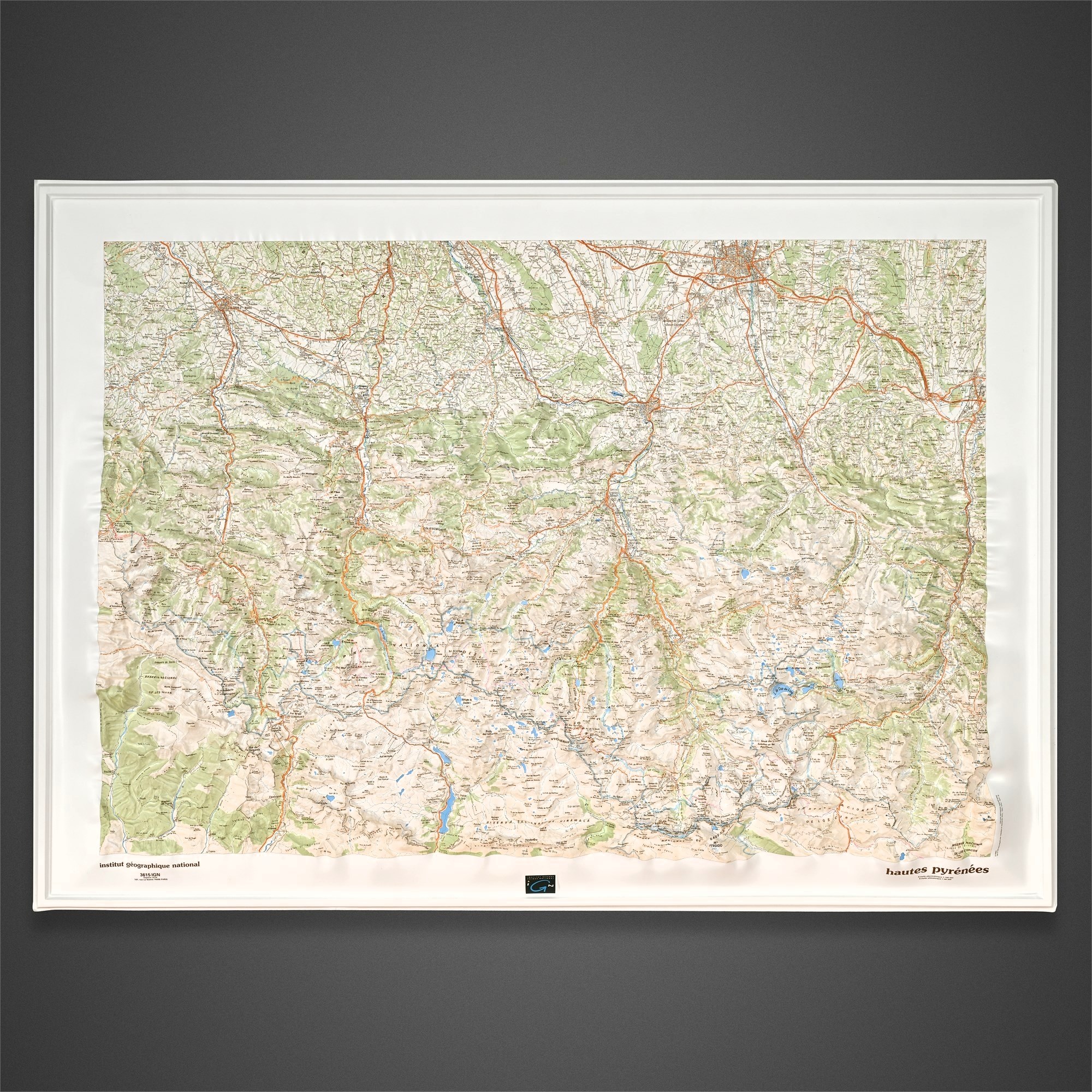
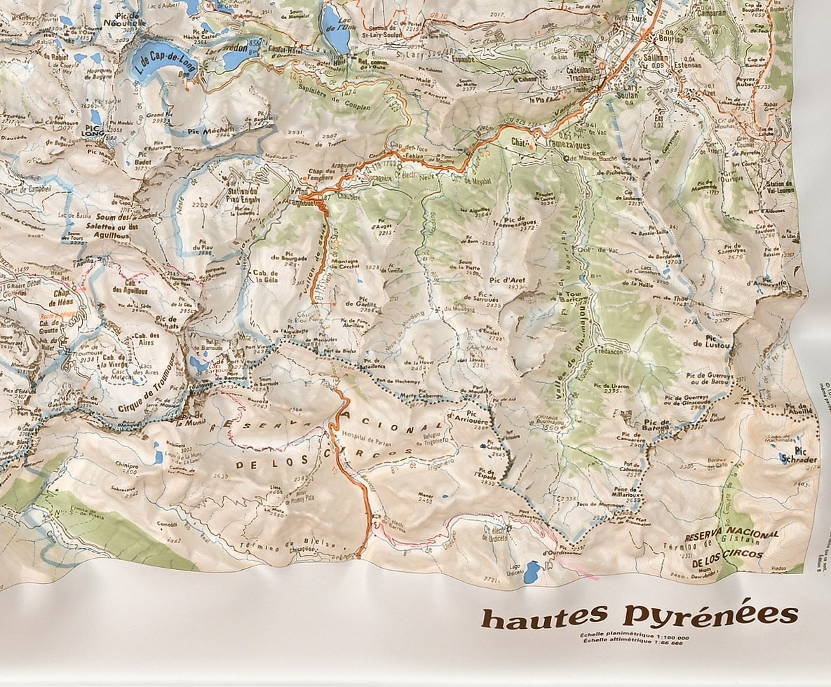
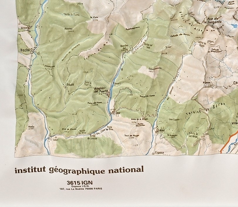
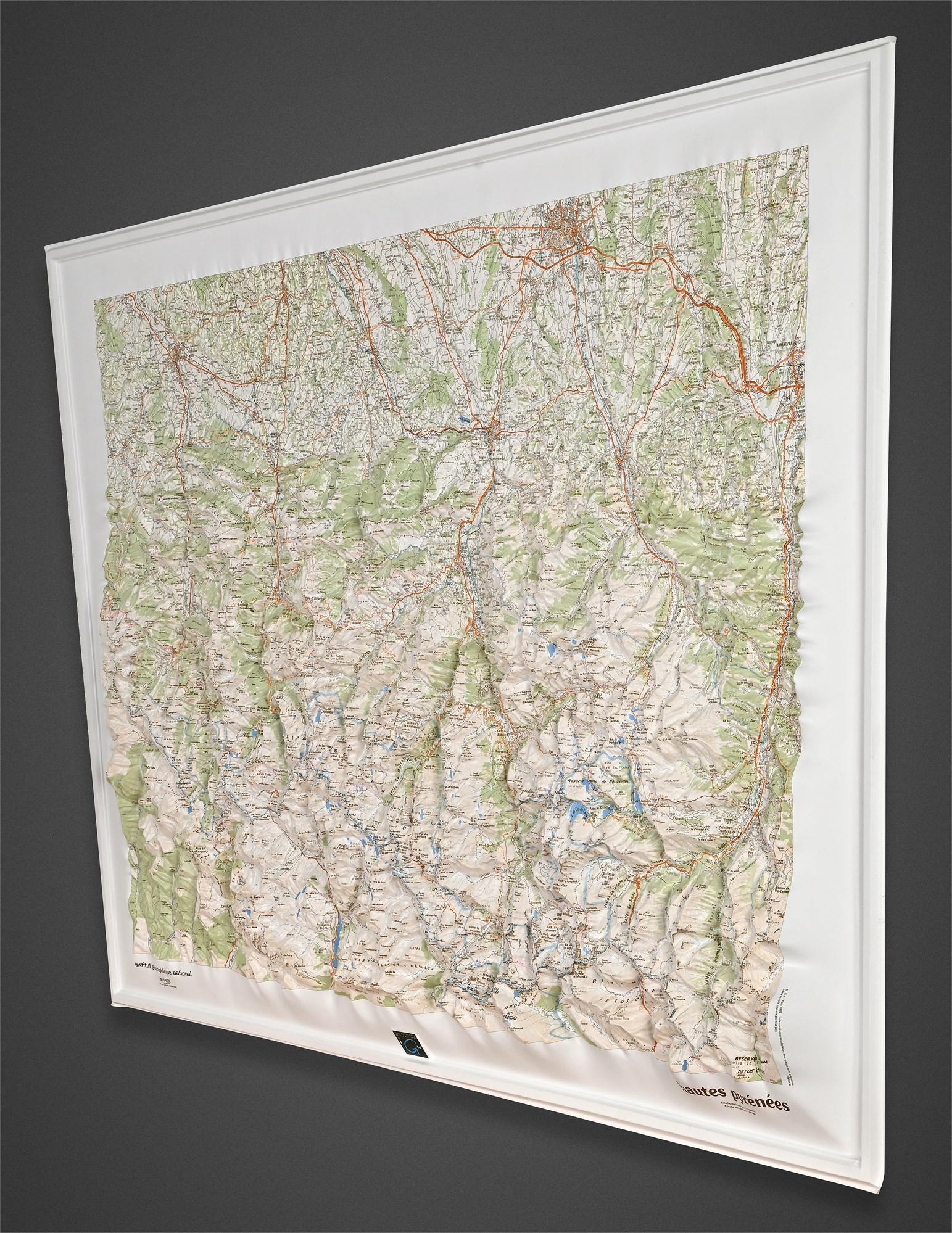
IGN Raised Relief Map “Hautes-Pyrénées” France 1993 — Boxed, Maker Marked
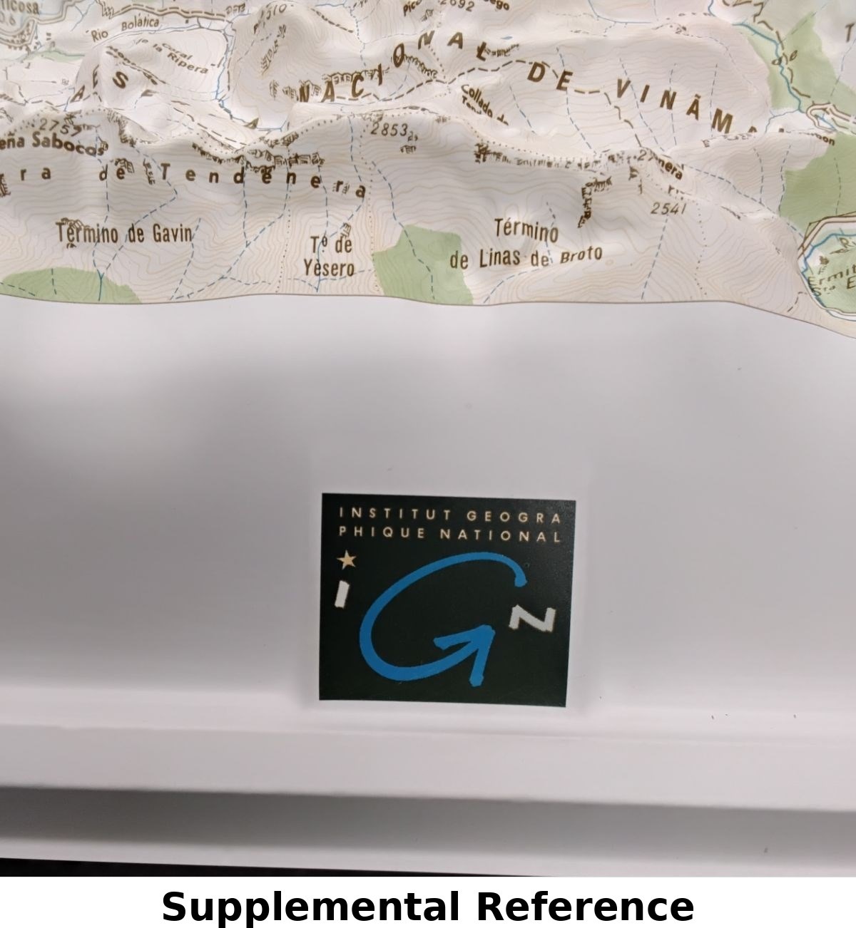
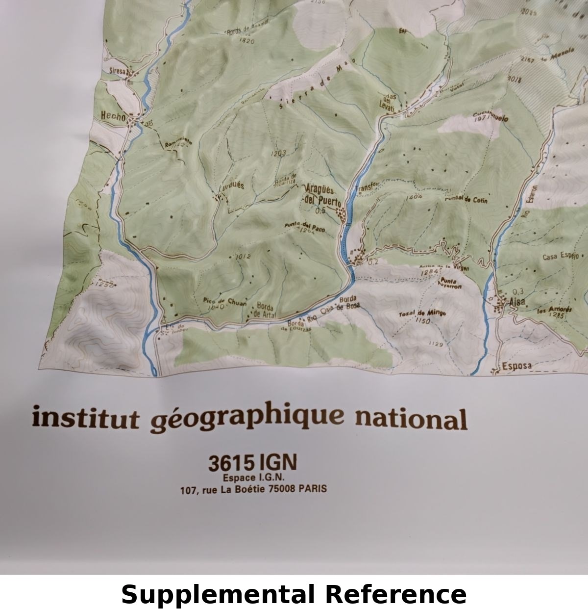
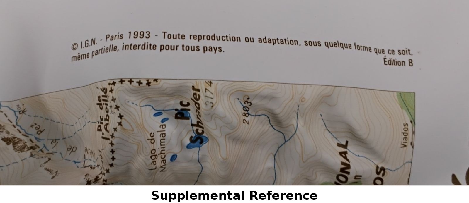
Original Institut Géographique National (IGN) raised relief map of the Hautes-Pyrénées, published in Paris, 1993 (Edition 8). This three-dimensional topographic map depicts the French Pyrenees in remarkable molded relief, highlighting mountain ranges, valleys, rivers, and routes with exceptional accuracy. Printed with planimetric and altimetric scales of 1:100,000 and 1:66,666, respectively.
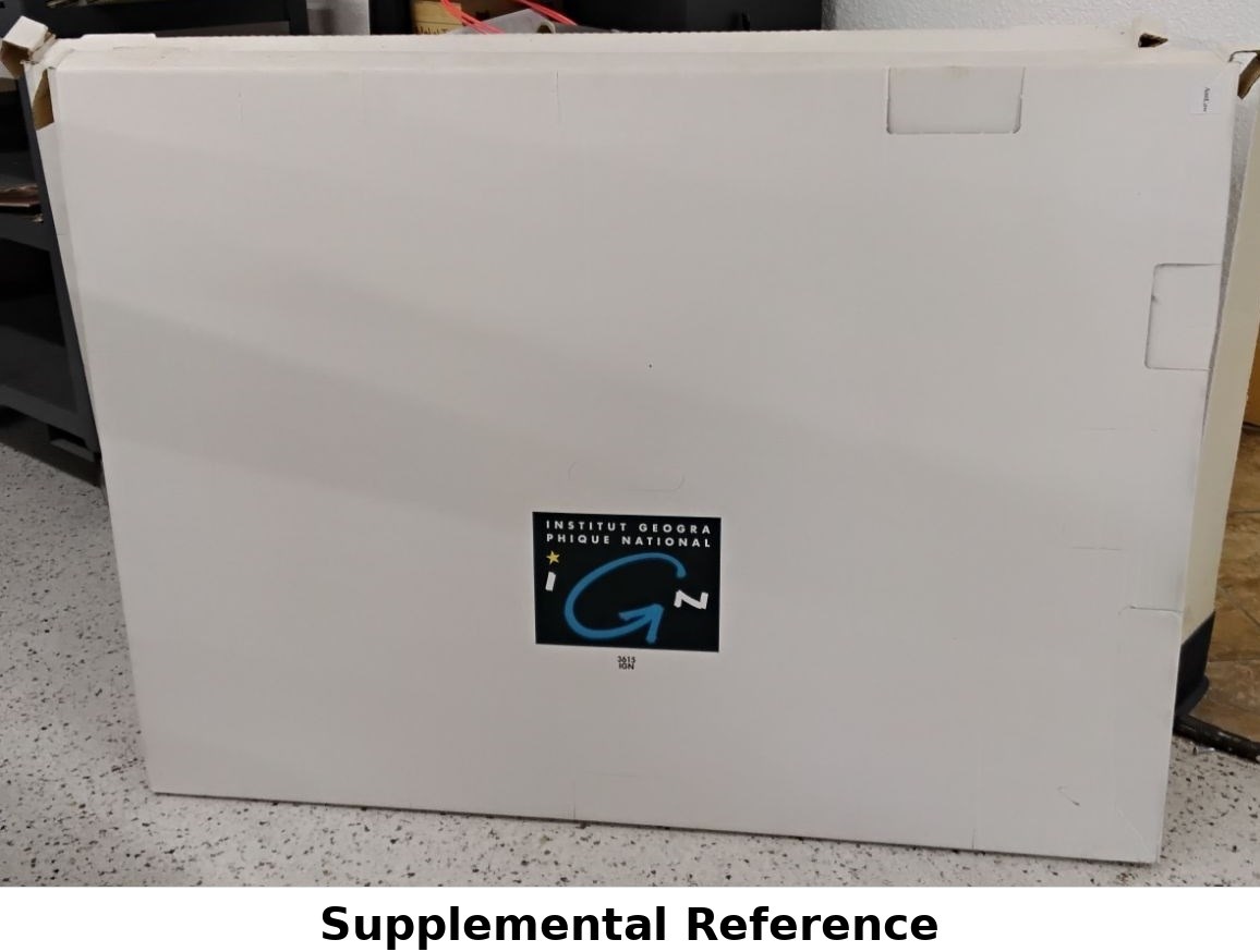
Maker marked with the IGN logo and imprint, and accompanied by its original IGN-branded box. A visually striking educational and decorative piece from France’s national mapping authority, ideal for display or collection.
Condition
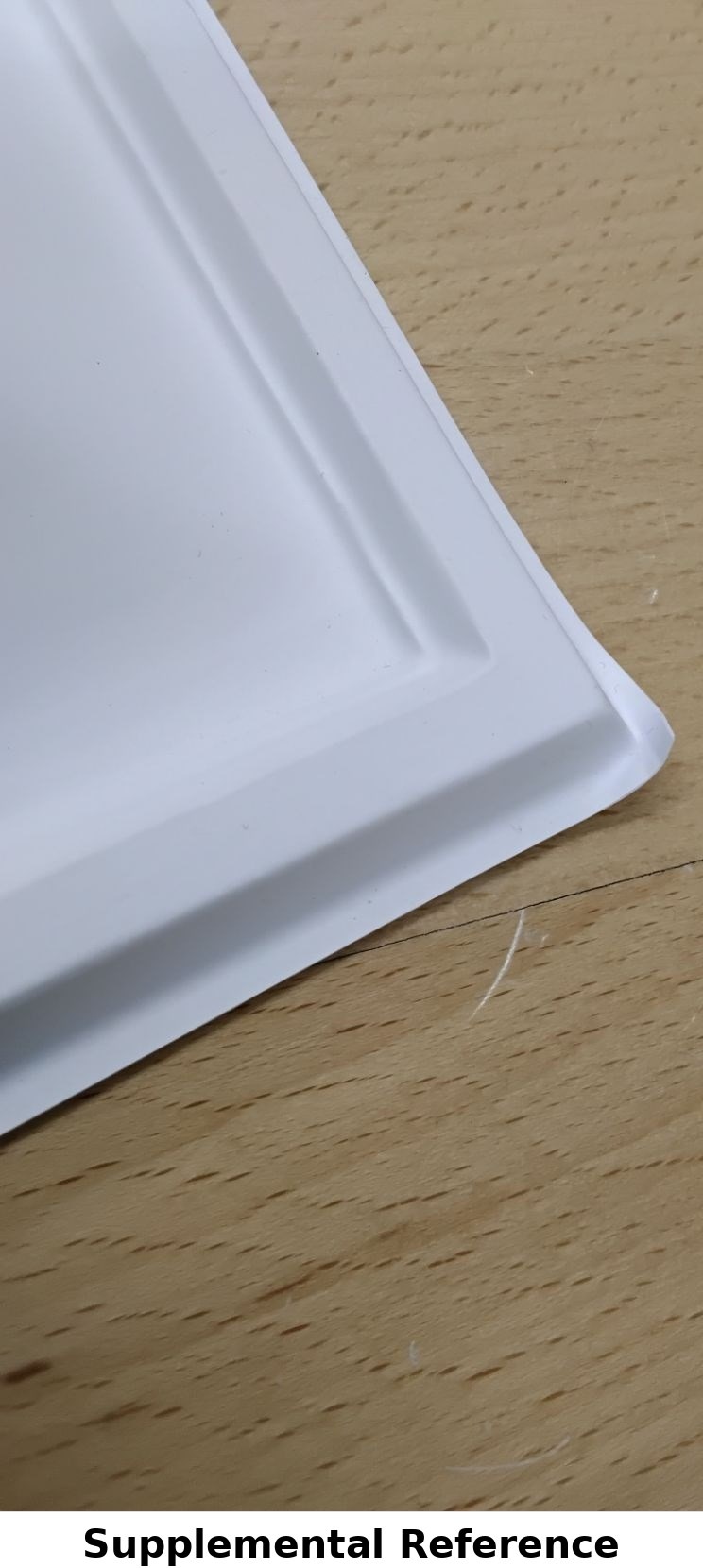
Excellent overall condition with slightly bent corners noted. Relief surface is clean and crisp with vivid coloration. Box shows minor handling wear.
Dimensions
31" x 43" x 1.75" (Height x Width x Depth)
Box included.