1992 Raven Raised Relief Map – Landforms of 48 States, 57.5" Wide View Watchlist >
- Winning Bid: $45.00
- 13 Bid(s) View Bid History
- High Bidder: Tyronethecat
Seller Accepts Credit Cards
Payment and pickup instructions will be available on your invoice (under "My Account") at the conclusion of this auction.
Lot # B289
System ID # 26411600
Start Date
End Date
0 Watching
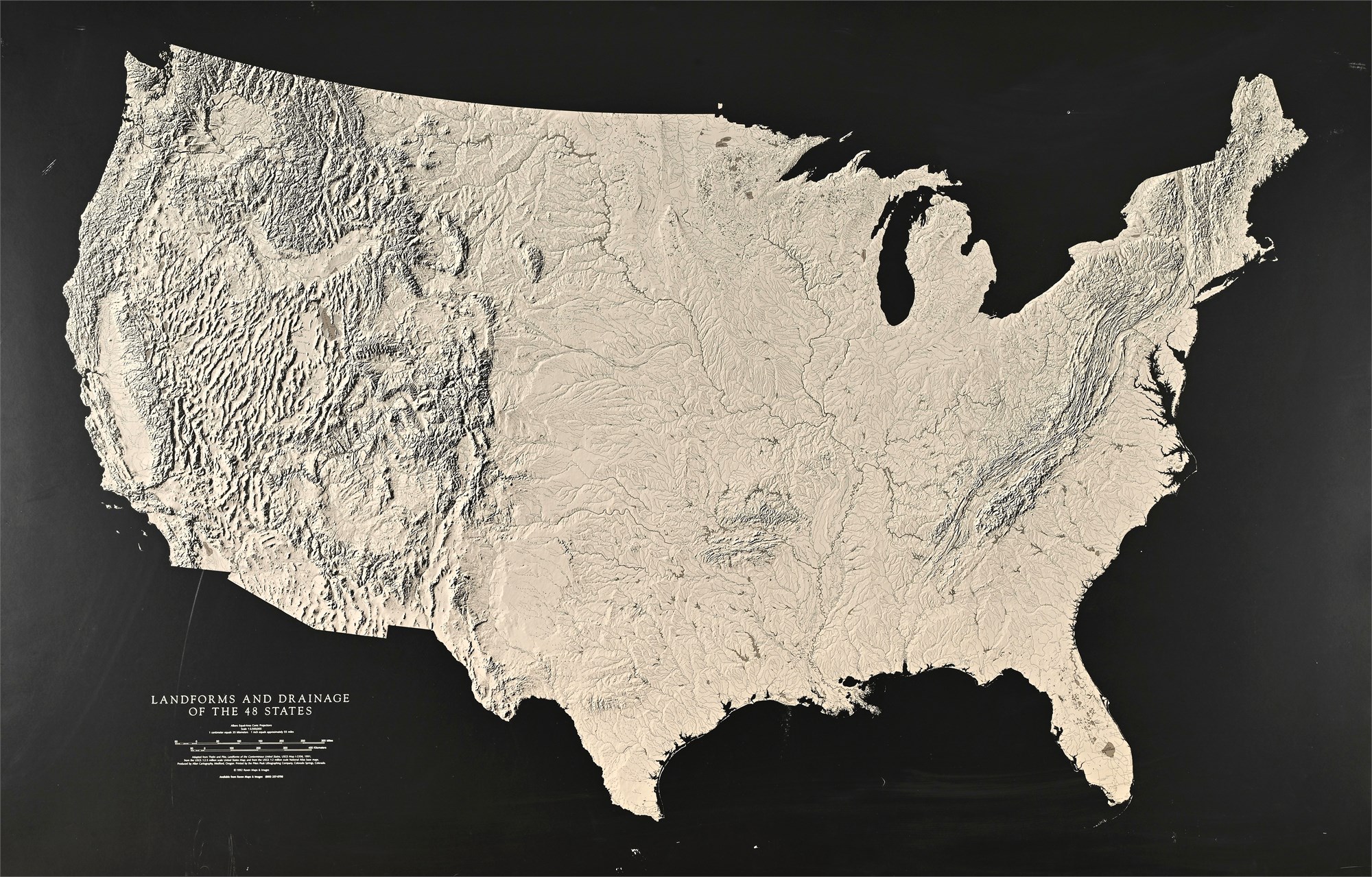
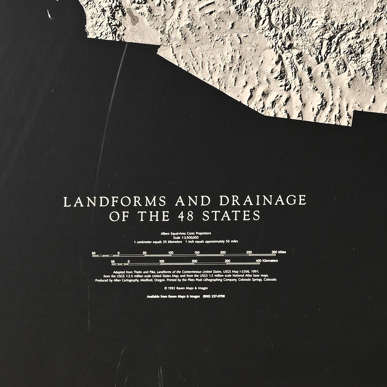
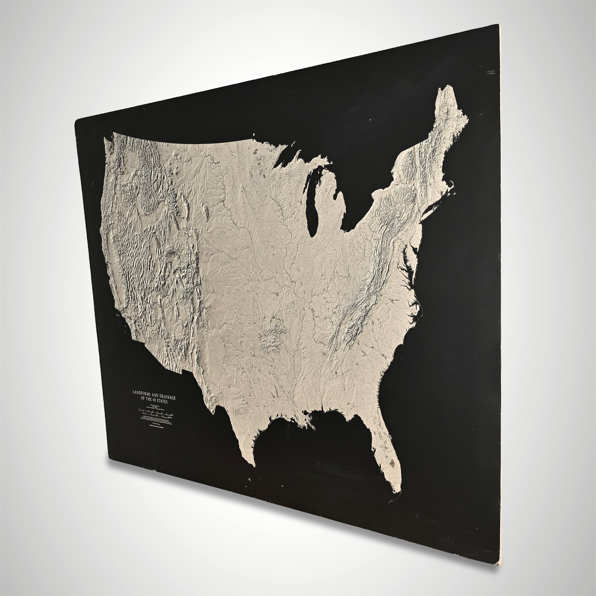
1992 Raven Raised Relief Map – Landforms of 48 States, 57.5" Wide
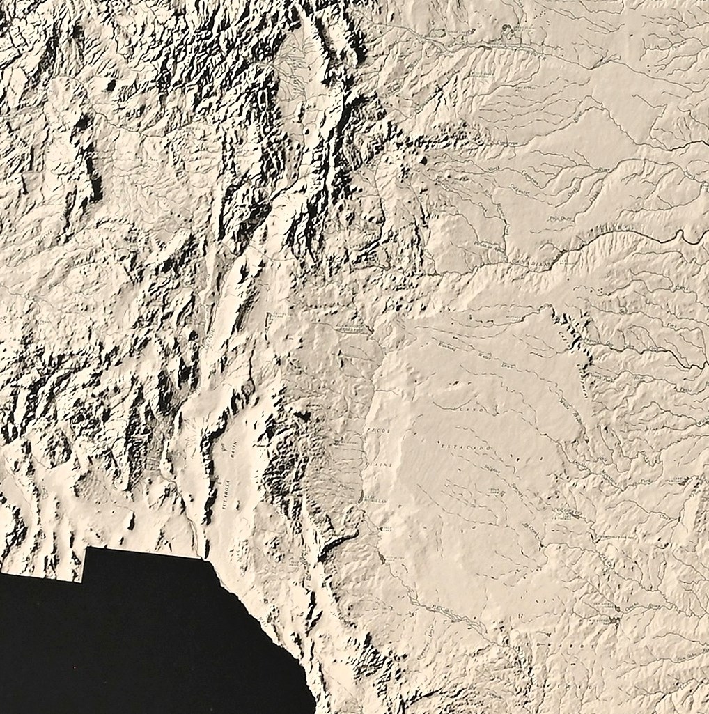
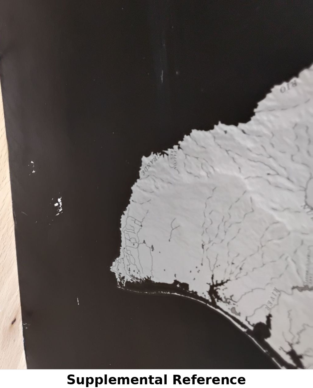
This large 1992 raised relief wall map, Landforms and Drainage of the 48 States, was produced by Raven Maps & Images and printed by Pikes Peak Lithographing Company. Using data from USGS maps, it presents the continental U.S. in intricate three-dimensional detail, emphasizing geological features and watershed systems. The high-contrast design—light relief map over a black background—enhances its educational and decorative appeal.
Professionally framed by Schmidt’s Custom Framing (Jackson Hole, WY), this map is both a visual centerpiece and a functional reference. Its bold scale (1:3,400,000) and tactile texture make it ideal for classrooms, offices, or collectors of vintage cartography.
Condition:
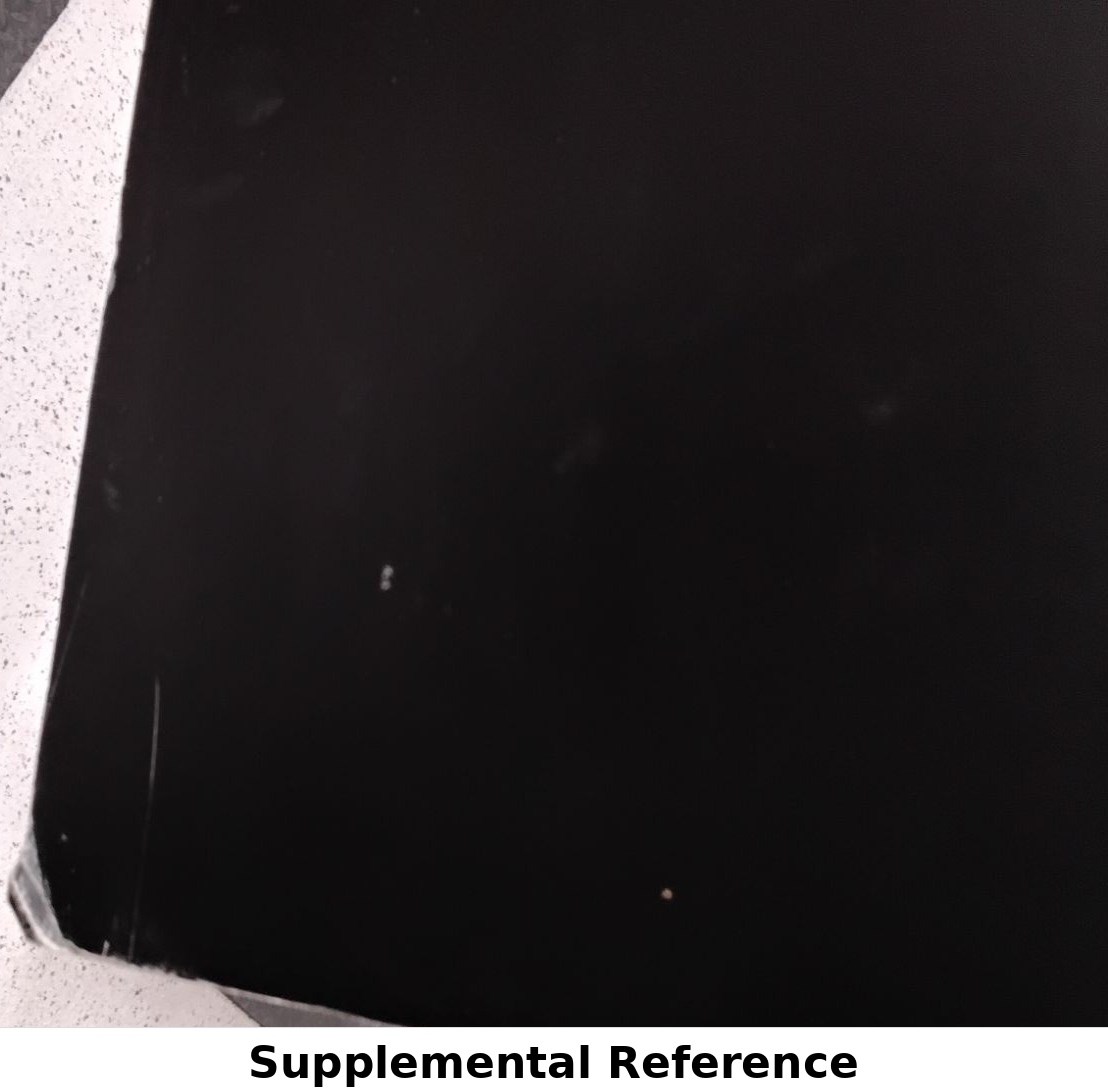
Fair. Displays moderate overall wear. Surface shows visible scuffing, corner indentations, and multiple scratches. The rear wooden support is warped, and there is water damage along the bottom on the reverse side. Despite these issues, the raised relief map face remains intact and legible, with all topographic detail clearly visible.
Dimensions:
37 x 57.5 inches