1860 Mitchell “Plan of Philadelphia” — Hand-Colored Lithograph, Framed View Watchlist >
- Winning Bid: $80.00
- 31 Bid(s) View Bid History
- High Bidder: SweetThing
Seller Accepts Credit Cards
Payment and pickup instructions will be available on your invoice (under "My Account") at the conclusion of this auction.
Lot # E452
System ID # 22514991
Start Date
End Date
1 Watching
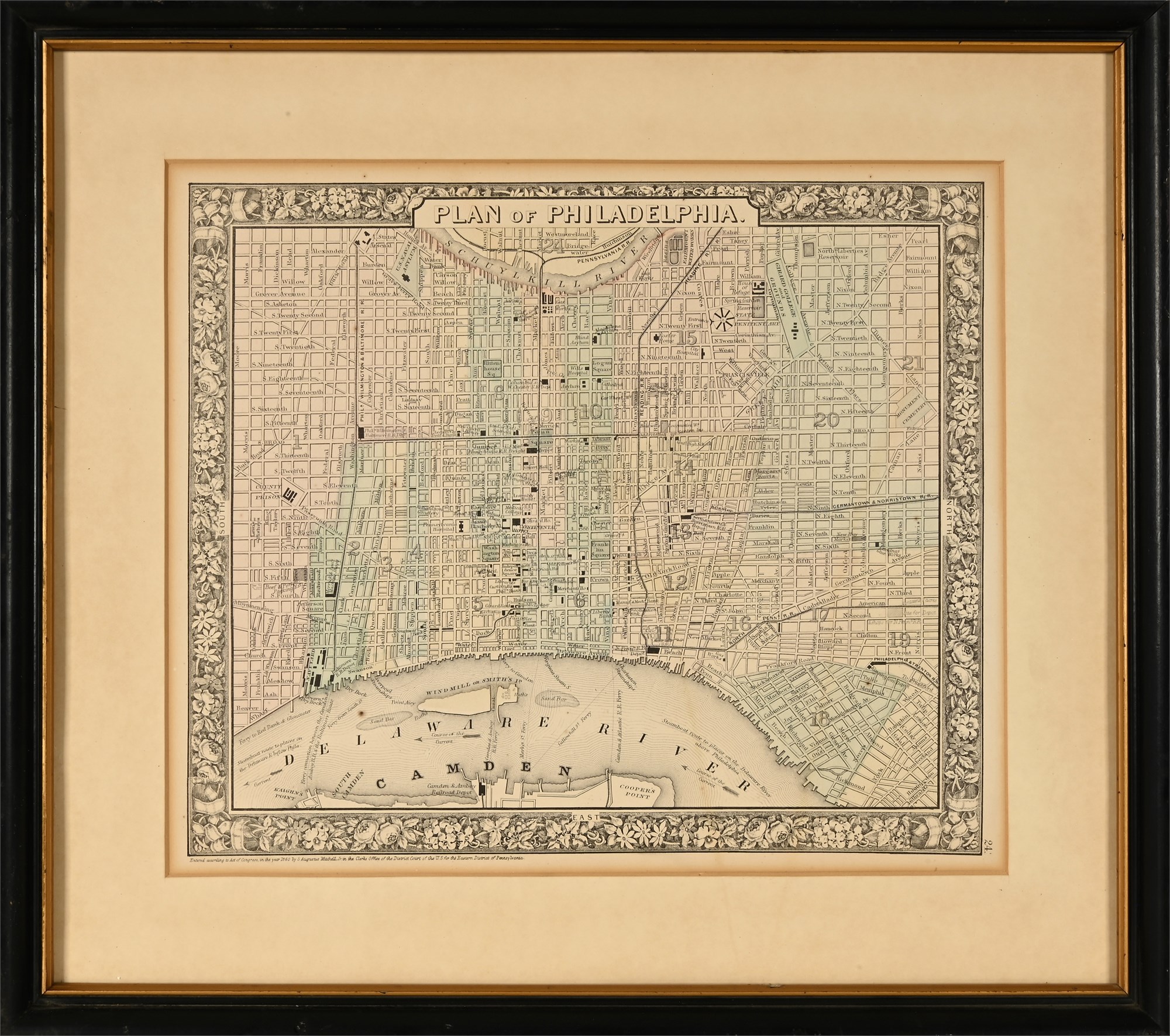
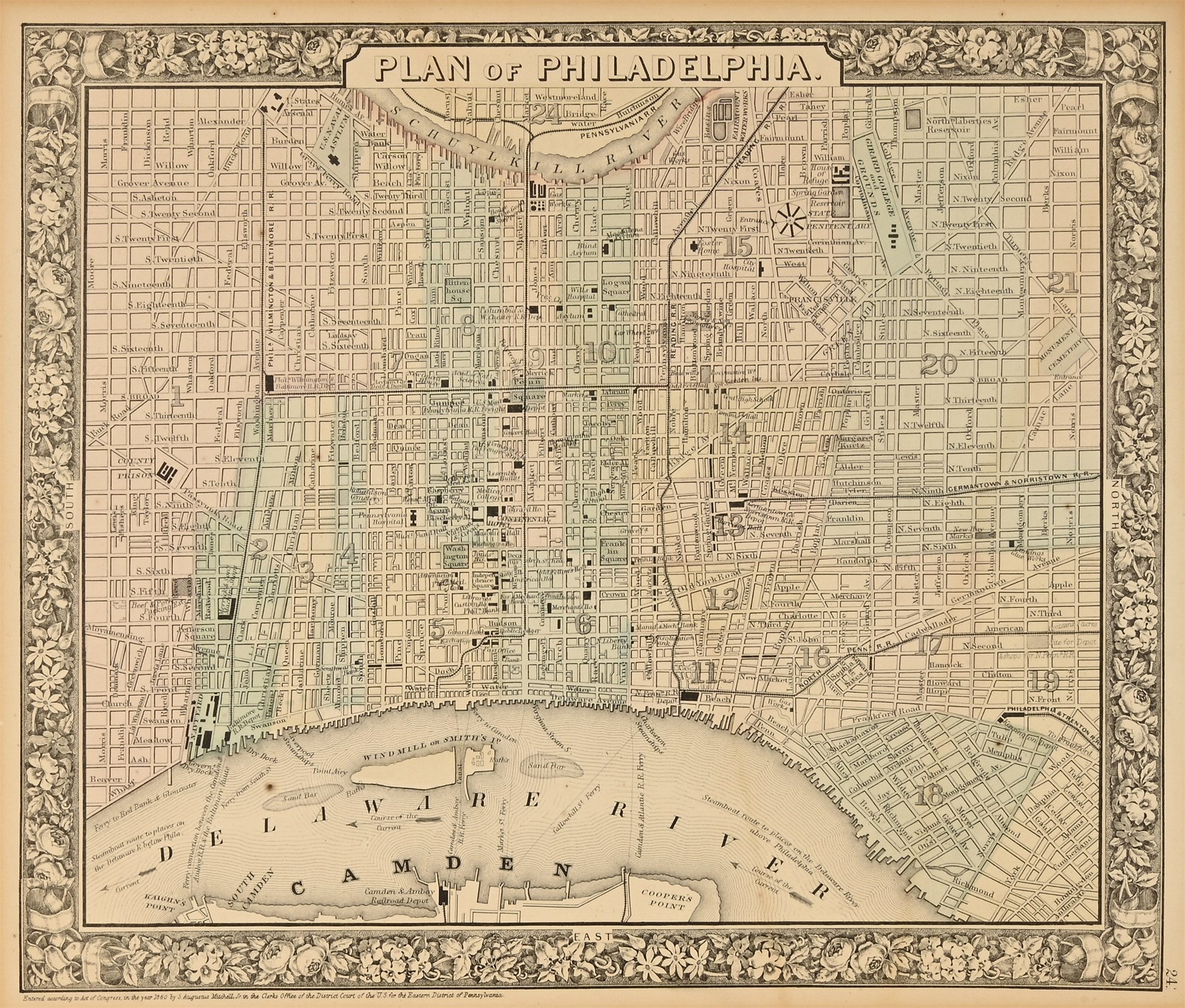
1860 Mitchell “Plan of Philadelphia” — Hand-Colored Lithograph, Framed
This is an original 1860 hand-colored lithograph map titled “Plan of Philadelphia”, created by renowned American cartographer S. Augustus Mitchell Jr. and published in the first edition of Mitchell’s New General Atlas. The map presents a richly detailed street plan of mid-19th century Philadelphia, along with parts of Camden, New Jersey, just prior to the Civil War.
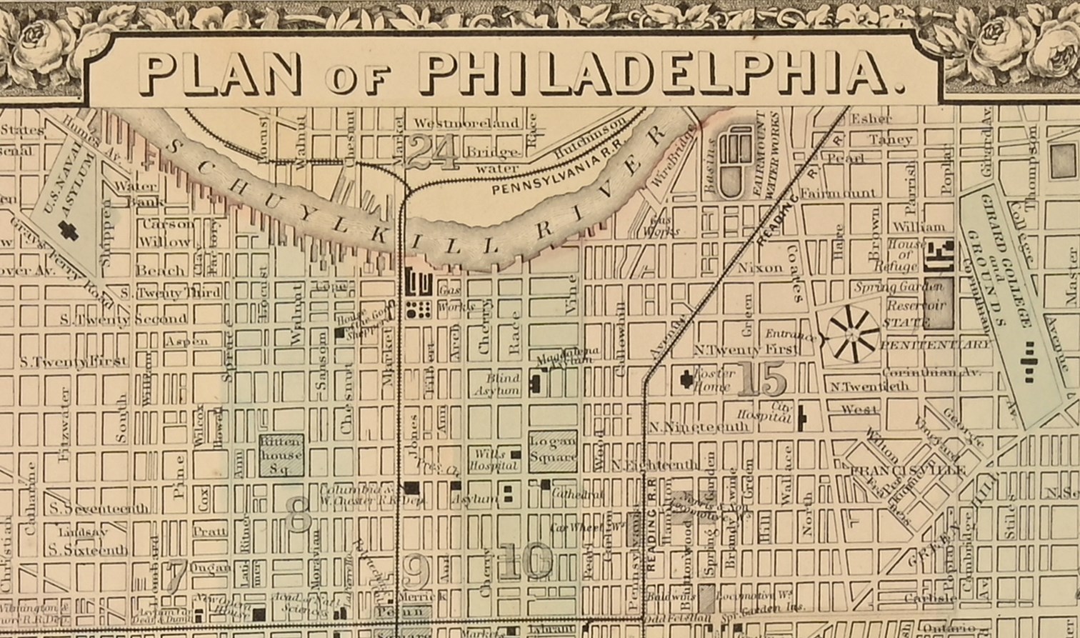
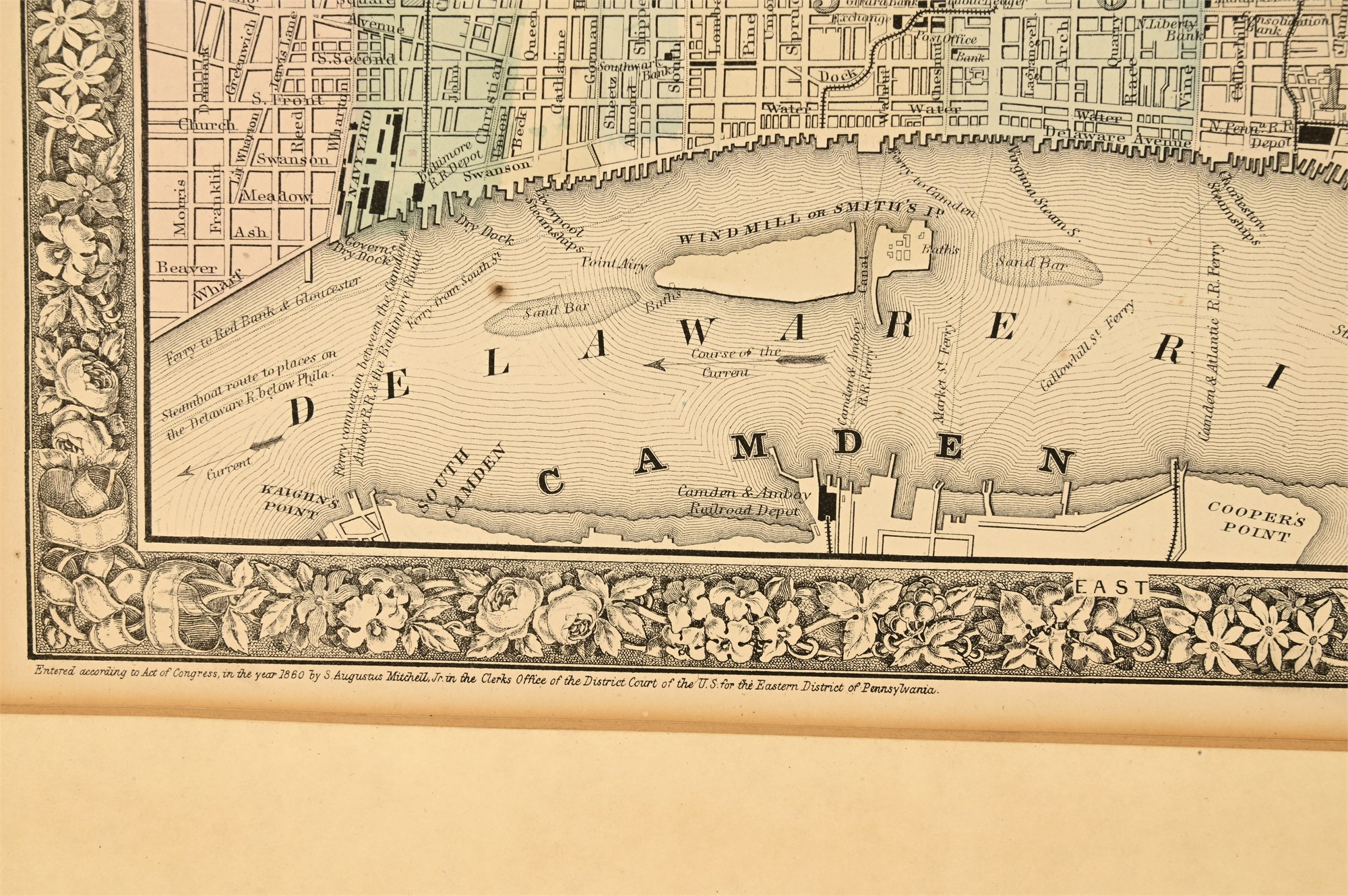
Key features include detailed depictions of major landmarks such as the U.S. Naval Asylum, Girard College Grounds, Blind Asylum, Wills Hospital, Spring Garden Reservoir, and the Reading Railroad lines, alongside ferry routes and prominent public institutions. The Schuylkill and Delaware Rivers anchor the layout, and the map is surrounded by a signature ornate floral border, a decorative hallmark of Mitchell’s atlas works.
The lower margin reads: “Entered according to Act of Congress in the year 1860 by S. Augustus Mitchell Jr. in the Clerk’s Office of the District Court of the U.S. for the Eastern District of Pennsylvania.” This lithograph was later hand-colored, as was customary, to distinguish districts and enhance visual clarity. It has been professionally framed and matted for preservation and display.
Condition
In fair condition, with moderate wear from age but no visible damage to the map itself. There is mild toning and foxing around the paper edges, consistent with 19th-century lithographic works. The colors remain intact and legible. Presented under glass in a later black and gold-trimmed wooden frame with wide cream matting.
Dimensions
-
Framed (overall): 16 1/2 x 18 inches
-
Visible map area: 12 x 13 inches